
31-05-2026 · field
Preparing CASCADES from Uummannaq to Qaanaaq
A field note from May conversations in Uummannaq, Qaanaaq, Qeqertat and on the sled routes, before the CASCADES summer expedition arrives by ship.
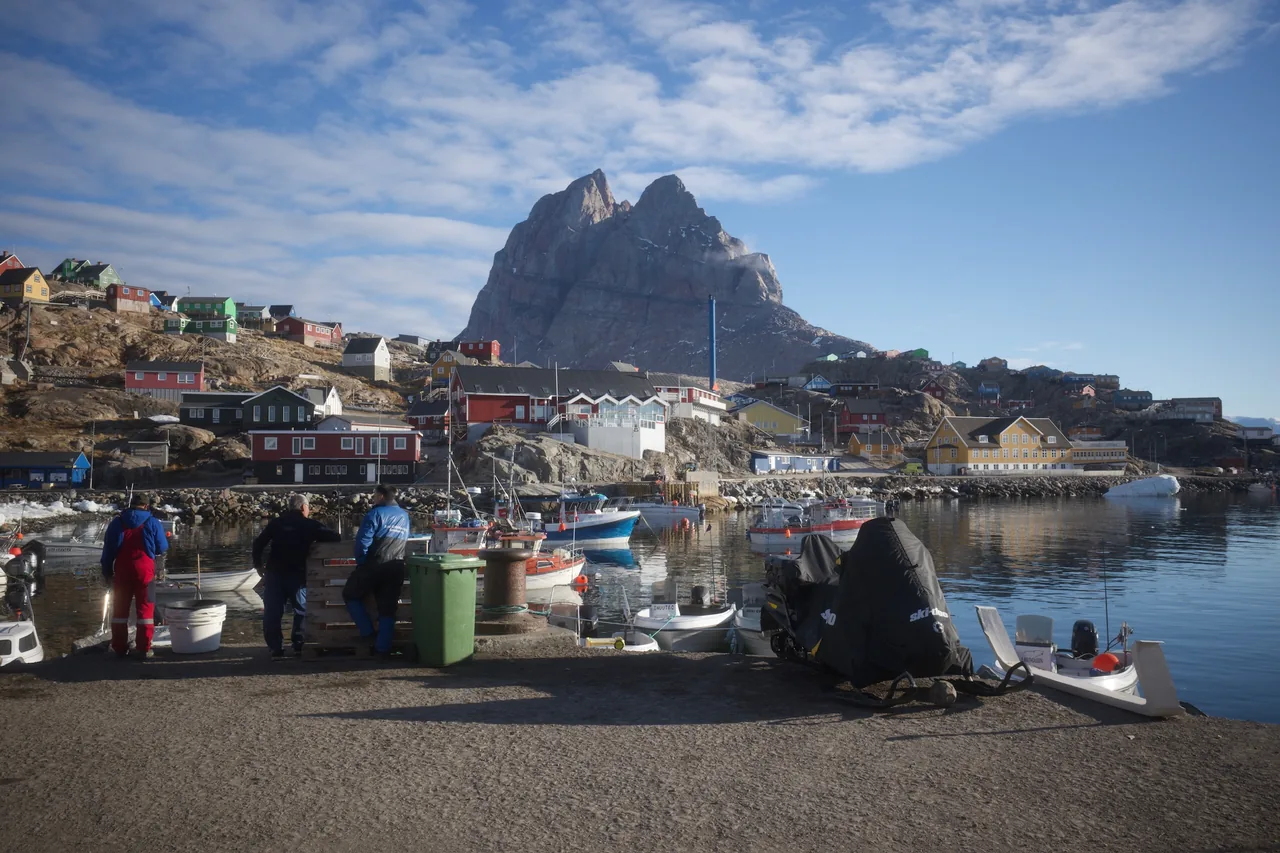
In May I travelled with SEDNA through Uummannaq and Qaanaaq to prepare the Greenland part of the CASCADES summer expedition.
I am writing this as a field note from that trip: what we heard, what changed in the plan, and what still needs attention before the ship arrives.
CASCADES is an international Arctic research expedition aboard the CCGS/NGCC Amundsen. Before the cruise, the plan needed time with people who know these waters from fishing, hunting and travelling through them. More info: https://cascades-expedition.science/
The map gave us a starting point. The conversations gave the plan its local shape.
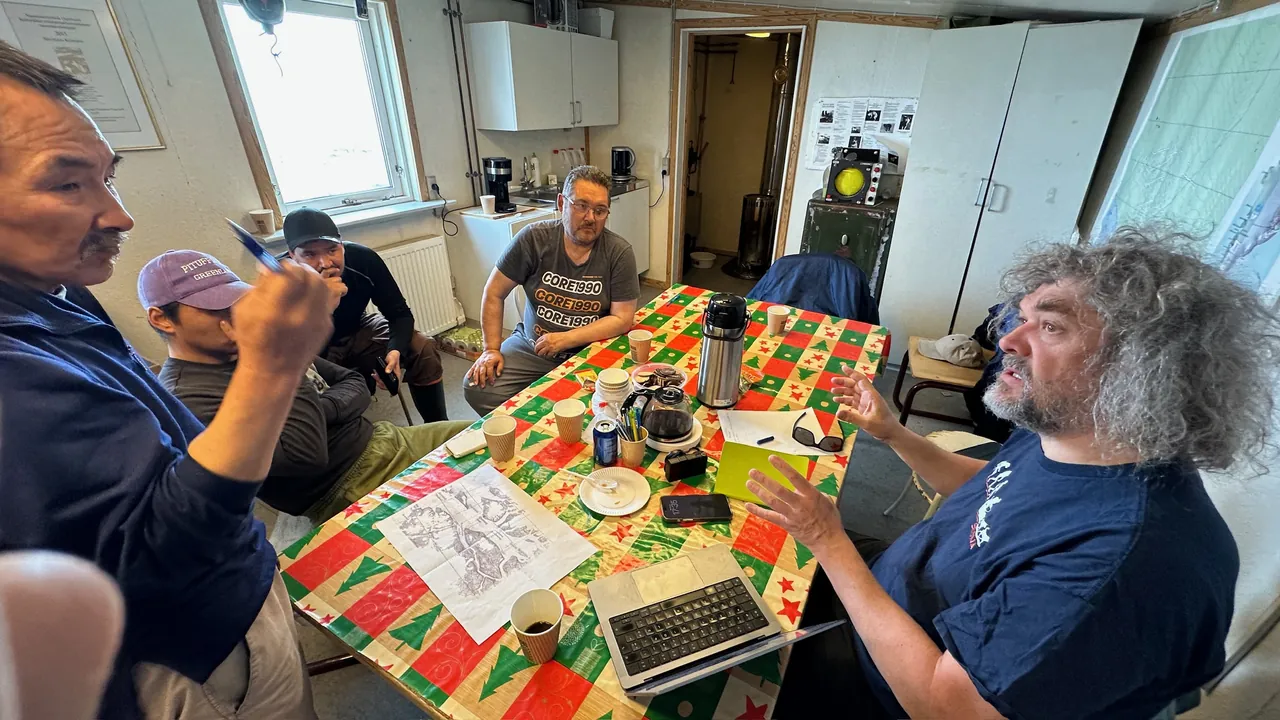
Some conversations happened at the harbour. Some around tables with coffee and Greenlandic cakes. Some while travelling on the ice, when hunters could point to places where currents, shallow water, animals and routes change what a planned line means.
Uummannaq: starting at the harbour
We started in Uummannaq, down by the harbour.
People were working and boats were moving, so the conversation stayed close to the daily use of the sea.
We asked where people fish, who knows the fjord system well, and how the planned CASCADES areas looked from their side.
Later we met Jørgen Kruse and Svend Løvstrøm. We talked through areas around Qeqertarsuup timaa, Ukussissat Kangerlua and Ingia Kangerlua.
Uummannaq gave us practical guidance. From what people pointed out, the areas we discussed seemed to avoid the main fishing areas. The inner fjords are shallow, though, and near-shore work may be better done from smaller local boats.
There was also real curiosity about what CASCADES will find. People asked about seabed conditions, halibut, Greenland sharks, lost lines, earlier snow-crab attempts, and what kind of measurements will be made.
In Uummannaq, people wanted to understand what the ship would actually do, and to hear afterwards what was learned.
Qaanaaq: meeting the association and the fjord
After Uummannaq we continued to Qaanaaq and the Kangerlussuaq fjord area.
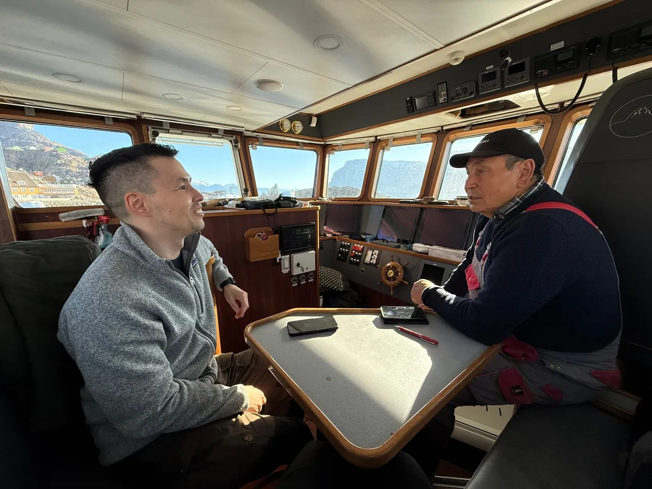
Adolf Simigaq helped open the first conversations and pointed us toward people we needed to meet. The next day we sat with Qaanaami Piniartut Aalisartullu Peqatigiiffiat, the hunters and fishermen association.
That meeting brought the planning closer to what Niko and I had hoped for: communities near the work shaping the route before the ship arrives.
The route gained names and uses: narwhal areas, kayak hunting, aakkarneq, shallow water, strong currents, west and north passages, and places where local guidance is needed.
A large ship coming here has to understand those things before it arrives.
The association advised that the main ship should stay away from sensitive coastal areas where narwhals feed, stay or migrate. They explained why the west passage matters for hunting and animal movement.
They saw the north passage as a better route option. It still needs local guidance because of currents and shallow water.
They also asked very concrete questions about the instruments. What touches the water? What touches the seabed? What makes sound? What is collected? How long does each operation take?
Those questions belong at the centre of the planning when a research vessel enters water people use every season.
Learning by travelling
The Qaanaaq discussions continued outside the meeting room.
We travelled by dogsled with local hunters toward Siorapaluk. Strong wind, moving ice and breaking sea ice stopped us before we reached it. We stayed overnight in Umiivik and returned the next day.
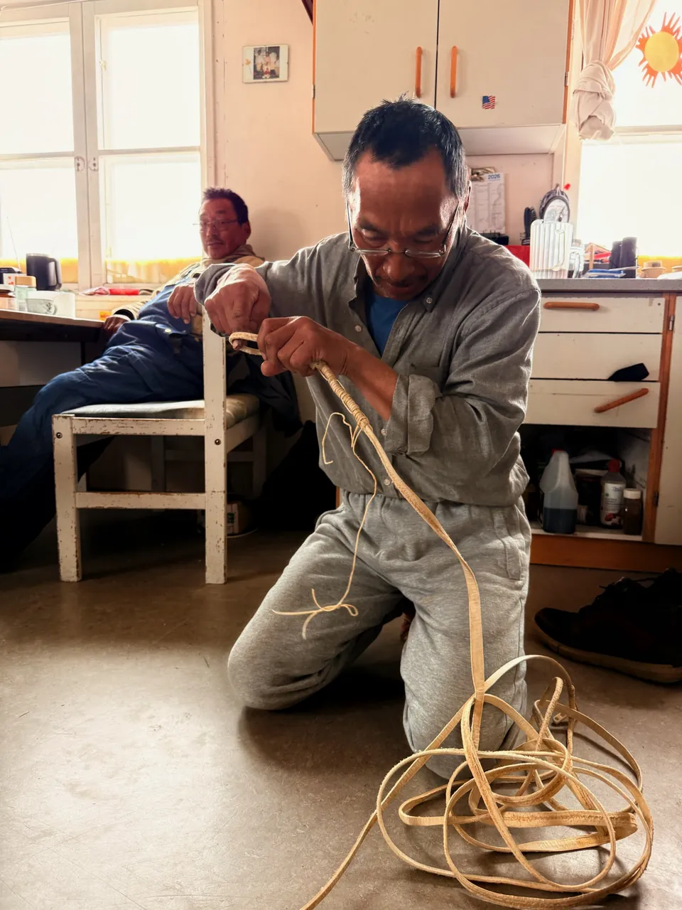
That became part of the learning. The route, the weather and the ice gave more time for deeper conversations with Qipisoq Uvdloriaq and Peter Simigaq while we were travelling.
On the ice, people could show what is hard to explain on paper: thin shore ice, qaanngoq, open-water areas held by current, and the change from winter ice to spring and summer conditions.
A route also carries weather, ice, animals, equipment, memory and judgment.
Qeqertat and the inner fjord
We also went to Qeqertat and met people in their homes.
Qeqertat is closer to the inner fjord areas where narwhals, beluga, halibut, Arctic cod, glaciers and local hunting routes come together. That perspective needs to be heard from Qeqertat itself.
People were curious about CASCADES. They were also clear about caution.
Large motors and larger vessels can change the sound environment. The inner fjord also carries a history of quieter travel by kayak and rowing.
From Qeqertat, the advice from Nukappiannguaq and Qillutooq was clear: use known vessel corridors, and keep the main ship away from sensitive near-shore, glacier, island and hunting areas.
If scientists need to work close to those places, local open boats with hunter captains are the better way.
What this preparation changed
The trip helped adjust the CASCADES plan in practical ways.
The route, the risk picture and the way we think about operations became more connected to the places where the work will happen.
The main points I carried home were:
- explain the science and instruments in plain language;
- use local contacts before and during operations;
- keep the main ship away from sensitive near-shore areas where needed;
- use local boats and hunter captains for close coastal, glacier and inner-fjord work;
- be careful around narwhal, beluga, kayak-hunting and fishing areas;
- keep radio/VHF contact active while work is happening;
- bring findings back to the communities afterwards.
For me, the useful work for SIKUMUT is to keep those details close enough to the planning that they can still change it.
In practice, that means understanding the science well enough to explain it, bringing local advice back before routes and methods are locked, and making sure people hear what came out of the work afterwards.
I want us to keep doing that carefully.